A keystone species linking forest conservation, livelihoods, and climate resilience
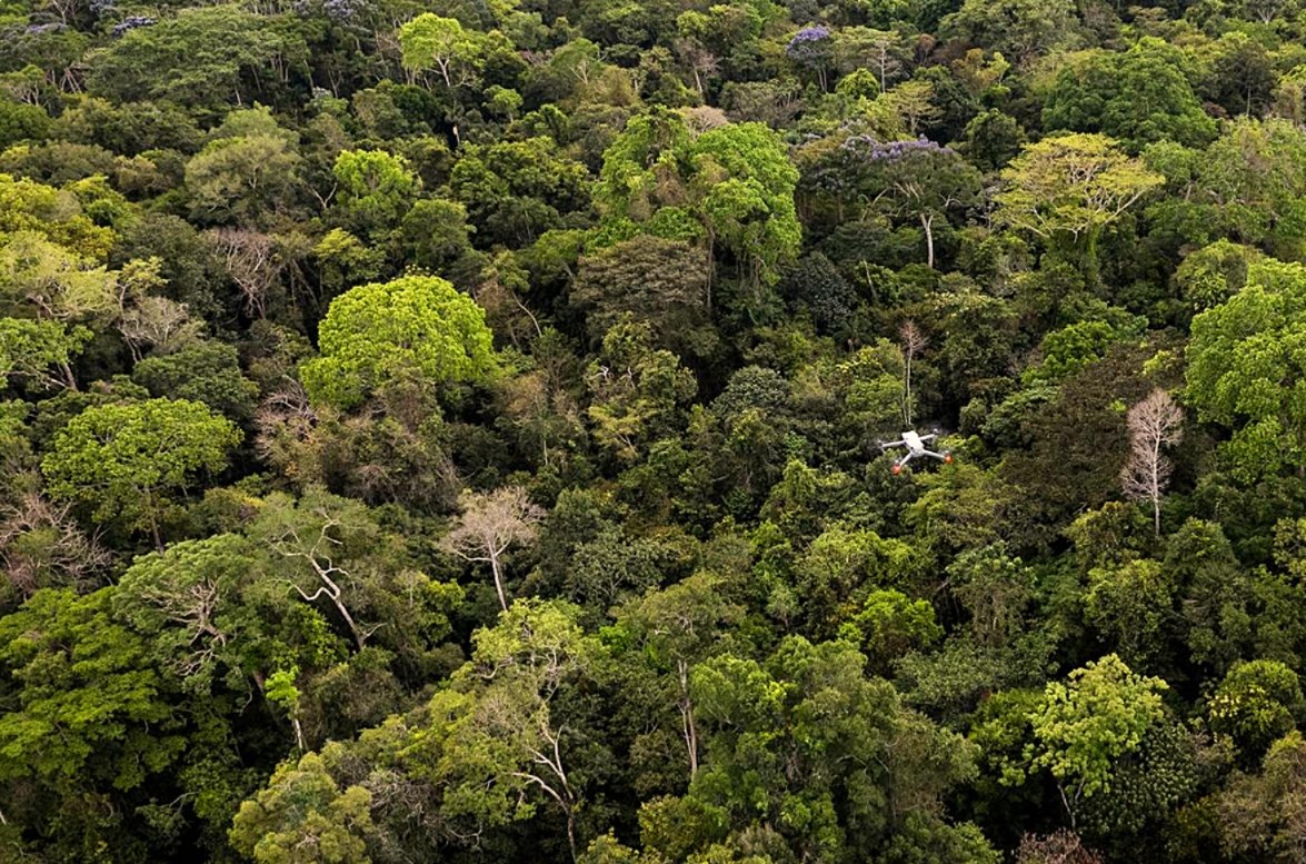
Brazil nut trees, known locally as Castana, are among the most important allies for conservation in the Amazon rainforest. These ancient canopy giants support biodiversity, depend on intact forest ecosystems, and anchor one of the few large-scale forest economies that does not require cutting trees or clearing land.
Unlike plantation crops, Castana trees cannot be farmed. They only produce fruit when surrounded by healthy rainforest, native pollinators, and natural seed dispersers. If the forest is degraded, production declines — making Brazil nut harvests a natural incentive to keep the forest standing.
By improving how Brazil nut production is measured and planned, this pipeline strengthens sustainable livelihoods while reinforcing long-term forest protection across Amazonian concessions.
Read the full conservation storyLifespan of mature Castana trees, anchoring long-term forest stability
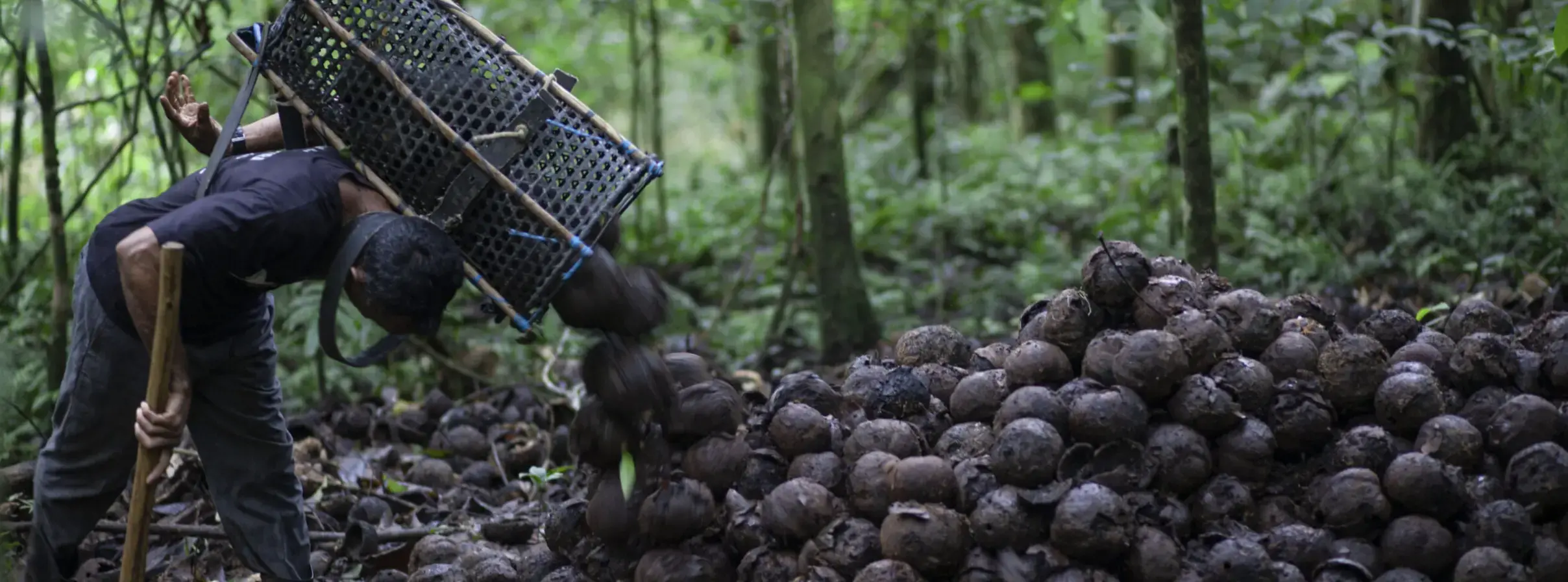
Income generation without deforestation or land conversion
Local livelihoods tied directly to healthy, intact rainforest
Every run packages spatial layers, tabular summaries, and annotated imagery so concession leads, cooperatives, and funders review the same traceable evidence.
Layered harvest zones, canopy detections, and concession boundaries ready for GIS tools.
Tree counts, imagery coverage, and QA flags give funders the metrics they require.
Crown detections overlayed on orthomosaics help crews verify locations in the field.
Interactive harvest map cached for offline laptops and tablets with tiles, trails, and detections.
Static print-ready maps in both PDF and PNG formats for reporting and field use.
If a structured drone survey is provided, the pipeline generates an orthomosaic of the concession and includes it in the offline map and outputs.
Castana Pipeline is deployed with concession owners who already manage seasonal harvests. Every release is co-reviewed with field crews and conservation partners to keep the workflow practical, auditable, and ready for long-term protection.